Your Ride, Mapped Into a Story

This is not just photo brightening. We place your photos back onto the Legacy Trail, estimate where each moment happened, and turn the ride into a map-aware story grid.

Keep the memory. Fix the light.

A good edit should look like the day felt: clearer sky, lifted shadows, true greens, and no neon grass or fake HDR.

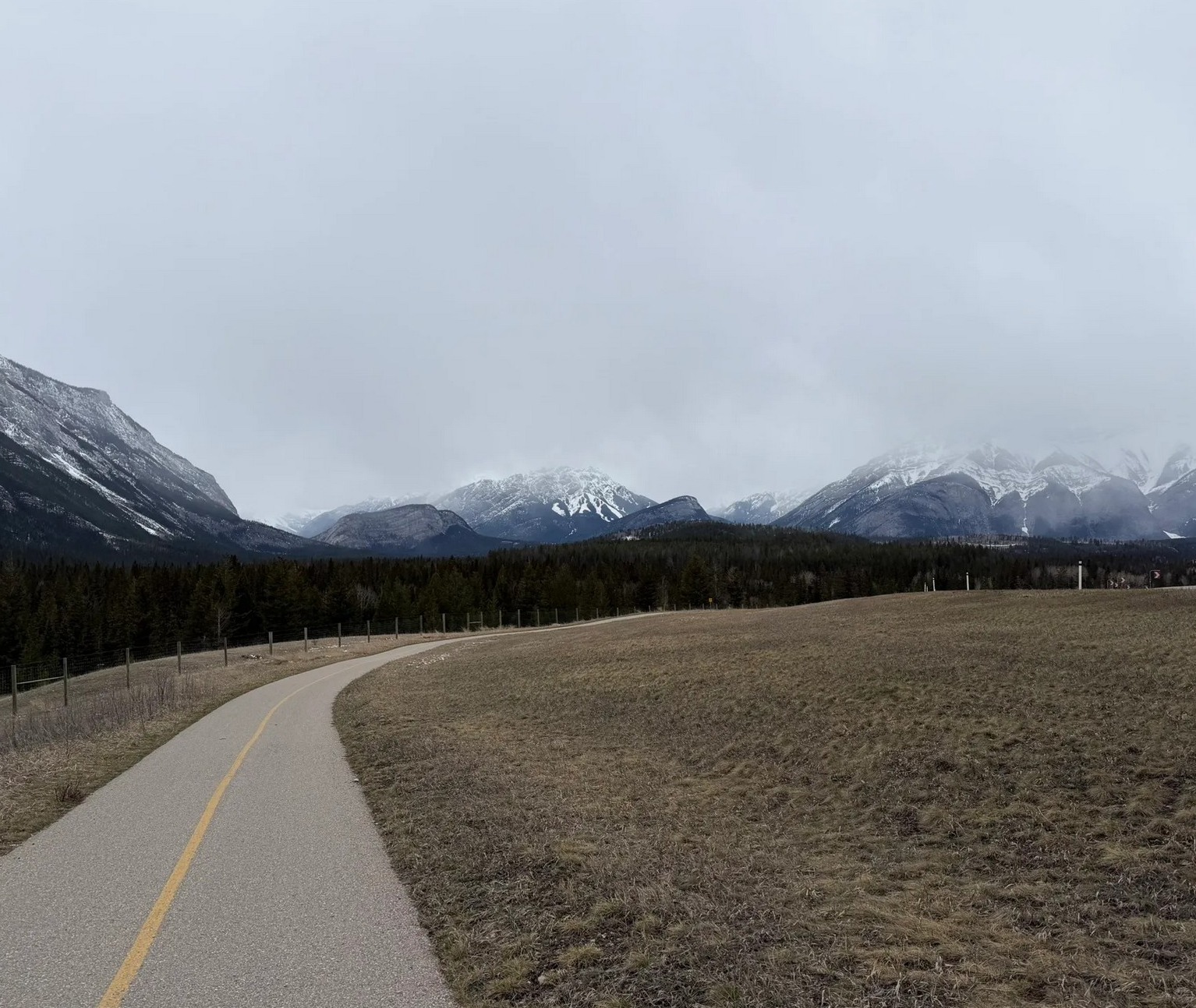
Phone original
Phone original photo with flat light and mild haze
Flat light Cool shadows Phone crop
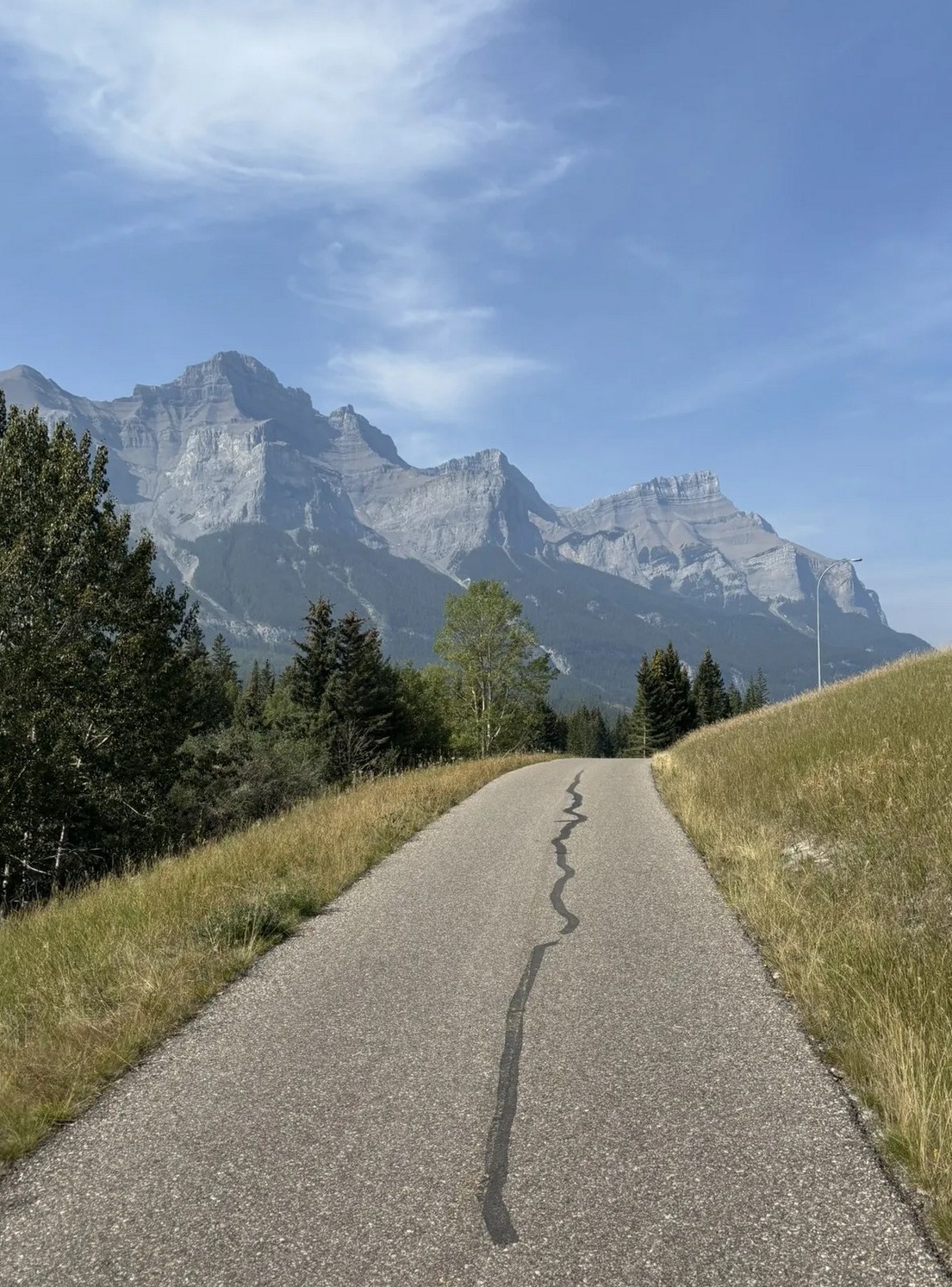
Natural edit
Natural edit with believable color, clearer sky, and lifted shadows
True color Lifted shadows Cleaner crop
Believable colorWe keep the trail, trees, and sky looking like Bow Valley, not a fantasy filter.
Small fixes matterHaze, dark foregrounds, tilted horizons, and weak contrast are corrected gently.
Ready to shareThe final crop keeps the road and mountains readable on a phone screen.

A 3×3 grid with a beginning, middle, and finish

Nine squares should not feel random. We turn the ride into a small visual story: the start, the rhythm, the big view, the pause, the finish, and the feeling you want people to remember.

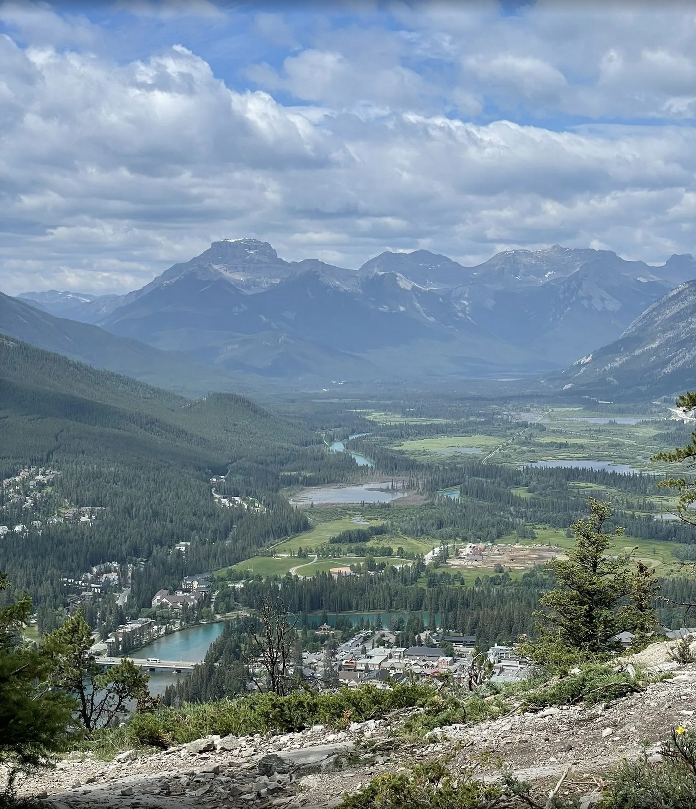
3×3 story grid with nine Legacy Trail photos and short captions
01 / Hook
Start with anticipation

The first row says: this is where the day begins, and the road is pulling you forward.

02 / Journey
Show the rhythm of the ride

The middle row gives the viewer motion: open trail, quiet forest, a place to pause.

03 / Memory
End with the feeling

The last row turns it from “photos I took” into “a day I want to remember.”

Built for Instagram, Facebook, TikTok covers, or a trip recap message to friends.

15-Second Story Video

Your photos come alive. We sequence them, add music and captions, overlay your route map — drop it straight into TikTok, Reels, or YouTube Shorts.

Legacy Trail · June 2026
Video preview

Pick Your Package

No subscriptions. Start with a free grid today. Pro and Premium are the paid direction for captioned grids and short videos.

Free
$0
Try it out
  • Natural color correction
  • 3×3 grid arrangement
  • Downloadable JPG
  • Story captions
  • Video export
Premium
Early access
$19
Video + everything
  • Everything in Pro
  • 15-second video edit
  • Route map overlay
  • Background music
  • TikTok/Reels optimized

Payment checkout is not live yet. The free generator works now; Pro and Premium buttons currently measure interest and take you to upload a sample. Stripe or PayPal should be the next integration before charging users.

Your photos can make the guide smarter

If you opt in, we only use anonymous scene signals from your upload to improve seasonal guidance: light, snow, smoke, crowding, trail surface, and which photo spots are actually working.

Light & weatherMorning haze, cloud cover, smoke, snow, and sunset quality by spot.
Trail stateWet pavement, busy crossings, construction clues, and seasonal conditions.
Wildlife signalsCoarse seasonal hints only, never precise animal locations.
Food stopsOptional restaurant photos can help future riders choose where to eat after the ride.

The valuable part is the place, not the filter

A phone can already brighten a photo. What it cannot do well is understand that this image was probably near KM 11, that the next one feels like Cascade Ponds, and that the whole set should read like a ride from Canmore to Banff.

How your photos become a route story

We combine optional photo metadata, upload order, ride direction, known photo spots, and the Legacy Trail route twin. The result is a 3x3 grid where each frame has a place, a role, and a reason to be there.

1Find location clues: GPS if you allow it, otherwise visual order and known trail landmarks.
2Match each image to the route: start, first reveal, forest rhythm, Engine Bridge, Cascade Ponds, Banff finish.
3Write the grid as a small travel story instead of nine unrelated edited photos.
StartViewBridgeCastlePondsFinish

Why people would pay for this

The output is no longer "same photo, brighter." It becomes proof of a day: where you were, how the ride unfolded, what the weather felt like, and why each photo belongs in the sequence.

Place memoryEvery frame gets a route label like KM 3 Three Sisters or KM 20 Cascade Ponds.
Trip memoryDirection, time, season, and ride style become part of the visual artifact.
Share valueThe map overlay gives viewers a reason to understand and like the post.

Where to Get the Best Shots

We've scouted every kilometer. Here are the spots where your photos will look incredible — before we even touch them.

01

The Bridge at KM 3.2

Rider silhouettes against Three Sisters Mountain. Best at 8-9 AM when the sun hits from the side.

02

Aspen Tunnel at KM 7.5

Dappled light through the trees. Go wide-angle, crouch low, and catch someone riding away from you.

03

Finish Line — Canmore

Bike on the grass, mountains behind, exhausted smile. The money shot.

See full trail guide →

Build Your Route Story

Pick 9 photos for the strongest story arc. If GPS metadata is present and you allow it, we use it to place photos along the route; otherwise we infer the sequence from your ride direction and upload order.

📷

Drop your photos here or click to browse

JPG, PNG, HEIC — 9 photos for the best 3×3 story

Tell the studio how the day moved

This context is what turns a grid from "edited photos" into "my ride through this place."

Your ride deserves more than a camera roll

9 photos. 3 minutes. A story you'll keep forever.